What Hazard's Mountain Terrain Means for Freight Movement
Hazard is built along the North Fork of the Kentucky River, with the downtown wedged between the river and the ridges. The Hal Rogers Parkway (KY-80) is the main east-west artery, connecting Hazard to Prestonsburg and Somerset on either end. KY-15 runs north-south through town, tying Hazard to Whitesburg and the coal camps to the south, and Jackson and the Bluegrass to the north.
The freight profile here has shifted over the years. Coal is still moving, but the mix now includes more building materials, aggregate for road work, medical supplies for the growing hospital campus, retail freight for the businesses along Main Street and Combs Road, and equipment for the ongoing infrastructure projects across Perry County. We handle all of it.
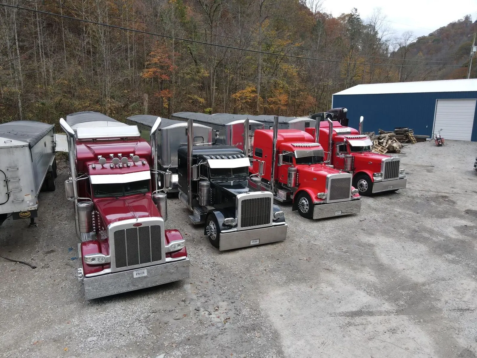
One local condition worth naming directly: the 2022 flooding hit Hazard and Perry County hard, and rebuild freight has been part of our regular schedule ever since. Loads of construction materials, replacement equipment, and household contents for people rebuilding have moved through Hazard by the thousands. Our residential hauling in the Hazard area has grown to fit that need. The other geographic reality of Hazard is elevation change. A load coming into Hazard from the west climbs steadily along KY-80, and a load leaving toward the coalfields drops through some tight curves. Not every carrier's equipment is set up for that. Ours is.